
Industry UAV Applications
Industry UAV solutions for forest fire monitoring, agricultural spraying, solar panel inspection and drone cleaning with autonomous flight and AI analysis
Overview
Industry UAV Applications cover forest fire monitoring, agricultural UAV crop protection, drone solar panel cleaning, photovoltaic inspection, natural resources, and environmental patrols. AI visual analysis, autonomous flight, and result management turn one-off missions into reusable operating data. The platform can manage equipment, crews, routes, payloads, missions, alerts, and thematic reports together.
Core Capabilities
- Autonomous route planning and precision operations
- AI visual identification and anomaly detection
- Multi-source data fusion and thematic mapping
- Emergency response and collaborative command
Operational Loop
- Model the operating area and check routes, airspace, and weather before flight
- Monitor equipment health, video quality, progress, and alerts during work
- Archive imagery, point clouds, thermal data, and recognition results after flight
- Convert findings into work orders and track correction, reinspection, and change over time
System & Scenario Evidence
Frequently Asked Questions
Direct answers covering use cases, core capabilities, and delivery.
How does UAV forest fire monitoring support earlier response?
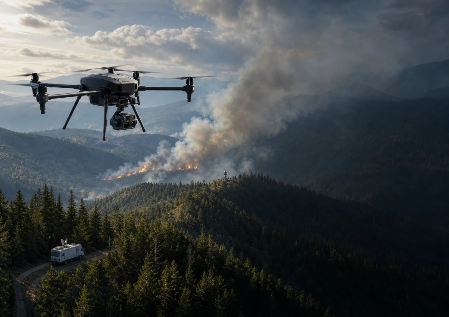
Scheduled routes and visual or thermal payloads detect smoke and heat anomalies, return coordinates, and connect alerts to command teams and reinspection tasks. This creates a traceable loop from discovery through response and review.
Which operations can an agricultural UAV support?
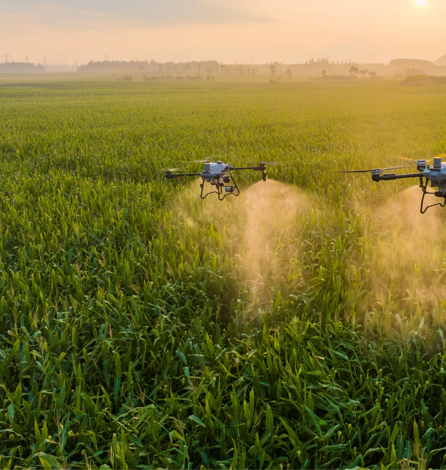
Agricultural UAV workflows can cover field mapping, crop inspection, precision spraying, spreading, and operation records across farms, orchards, and forests. The platform manages plots, routes, dosage, equipment status, and results.
How do drone solar panel cleaning and PV inspection work together?
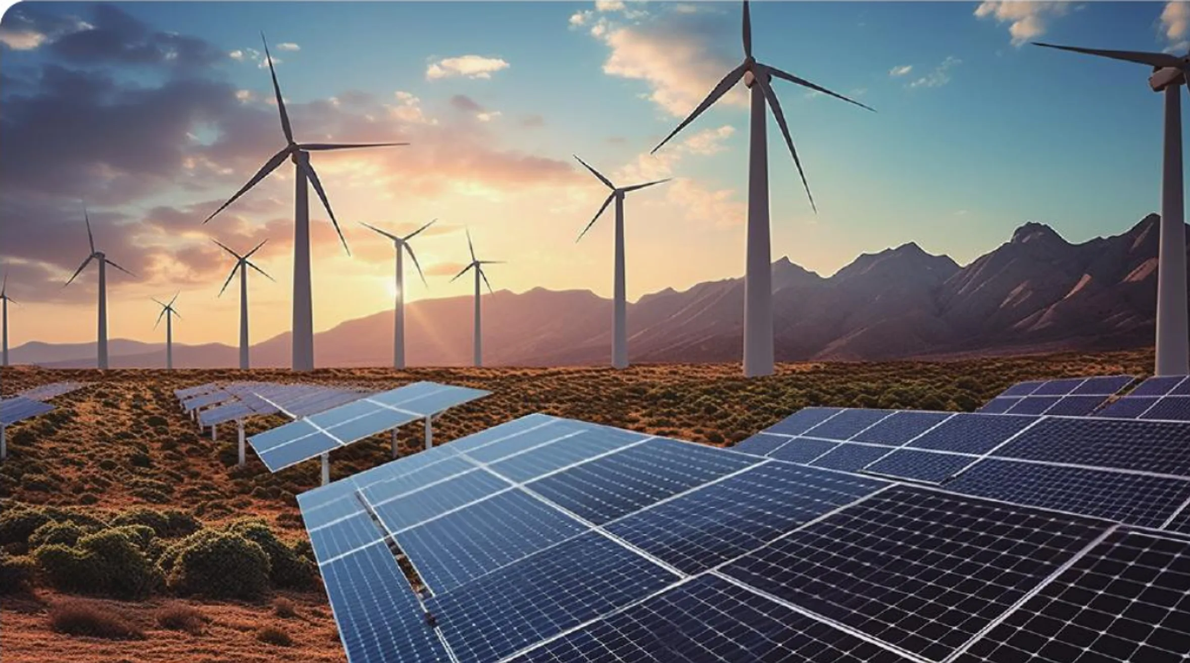
Visual and thermal inspection identifies dust, hotspots, obstruction, and other anomalies. The system then prioritizes cleaning by module location and severity and can repeat the same route afterward to verify results.
From Field Problems to Executable Scenarios
Platforms, equipment, and data are organized around real workflows, so every capability maps to a concrete operation and delivery outcome.
Forest Fire Monitoring for Earlier Action
UAV patrols, persistent monitoring, mobile command stations, and AI fire analysis form an emergency loop for forests, grasslands, and large ecological protection areas.
- Wide-area patrol
- Thermal hotspot detection
- Mobile command
- Emergency coordination
PV Inspection Connected to Work Orders
Visible-light and thermal imagery identify hotspots, cracks, and obstruction, linking defect location with cleaning plans, work orders, and reinspection.
- Autonomous routes
- Thermal analysis
- Defect geolocation
- Cleaning priority
Agriculture from Survey to Precision Work
For fields, orchards, and forests, mapping, inspection, spraying, and spreading plans convert aerial operations into reusable production data.
- Plot modeling
- Route planning
- Precision spraying
- Operation records
Repeatable Natural Resource and Environmental Patrols
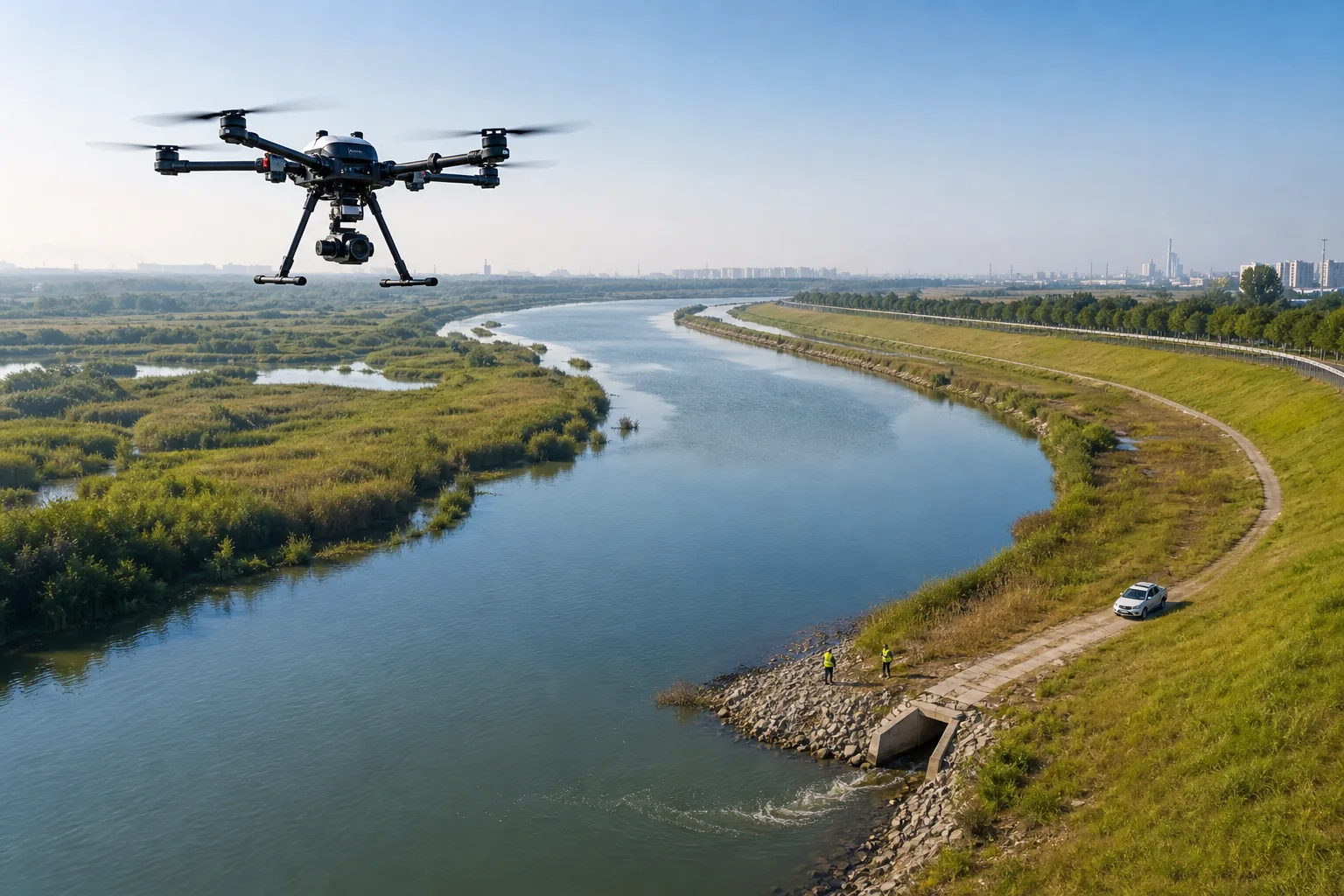
Recurring flights over rivers, forests, mines, and protected areas place imagery, coordinates, anomaly types, and response status on one base map for discovery, evidence capture, and reinspection.
- Recurring routes
- Change detection
- Geolocated evidence
- Issue reinspection
How the Solution Lands
From scope and data interfaces to integration testing and acceptance, every project follows a traceable and maintainable delivery path.
Site Survey
Confirm terrain, area, operating cycle, communications, and takeoff conditions.
Payload Selection
Choose visual, thermal, mapping, or environmental payloads for the target.
Routes and AI
Configure flight routes, data capture, recognition rules, and reports.
Operational Loop
Connect alerts, work orders, and reinspection into long-term operations.
Project References & Solution Evidence
Based on Hanxing project materials, solution documents, and application scenarios. Sensitive customer information is intentionally omitted from the public site.
Overseas Forest Fire and Ecological Protection System
The solution material combines VTOL UAVs, tethered balloons, mobile command stations, vehicles, storage, and cybersecurity into a wide-area ecological patrol system.
Based on the Al-Baha Forest Fire Monitoring requirements documentPV and Agricultural UAV Operations
Autonomous routes, AI visual analysis, and result management support inspection, recognition, work planning, and reinspection.
Hanxing industry UAV application materialsGuangxi UAV Forest-Fire Operations
A public National Forestry and Grassland Administration article describes UAV patrol teams, hotspot checks, coordinated firefighting, and a unified dispatch platform, providing an industry reference for wide-area emergency operations.
National Forestry and Grassland Administration public material · Not a Hanxing customer caseStart Your Digital Transformation Journey
Start with business goals and field constraints, then build an implementable, testable, and maintainable solution.
Contact Us