
Energy & Infrastructure
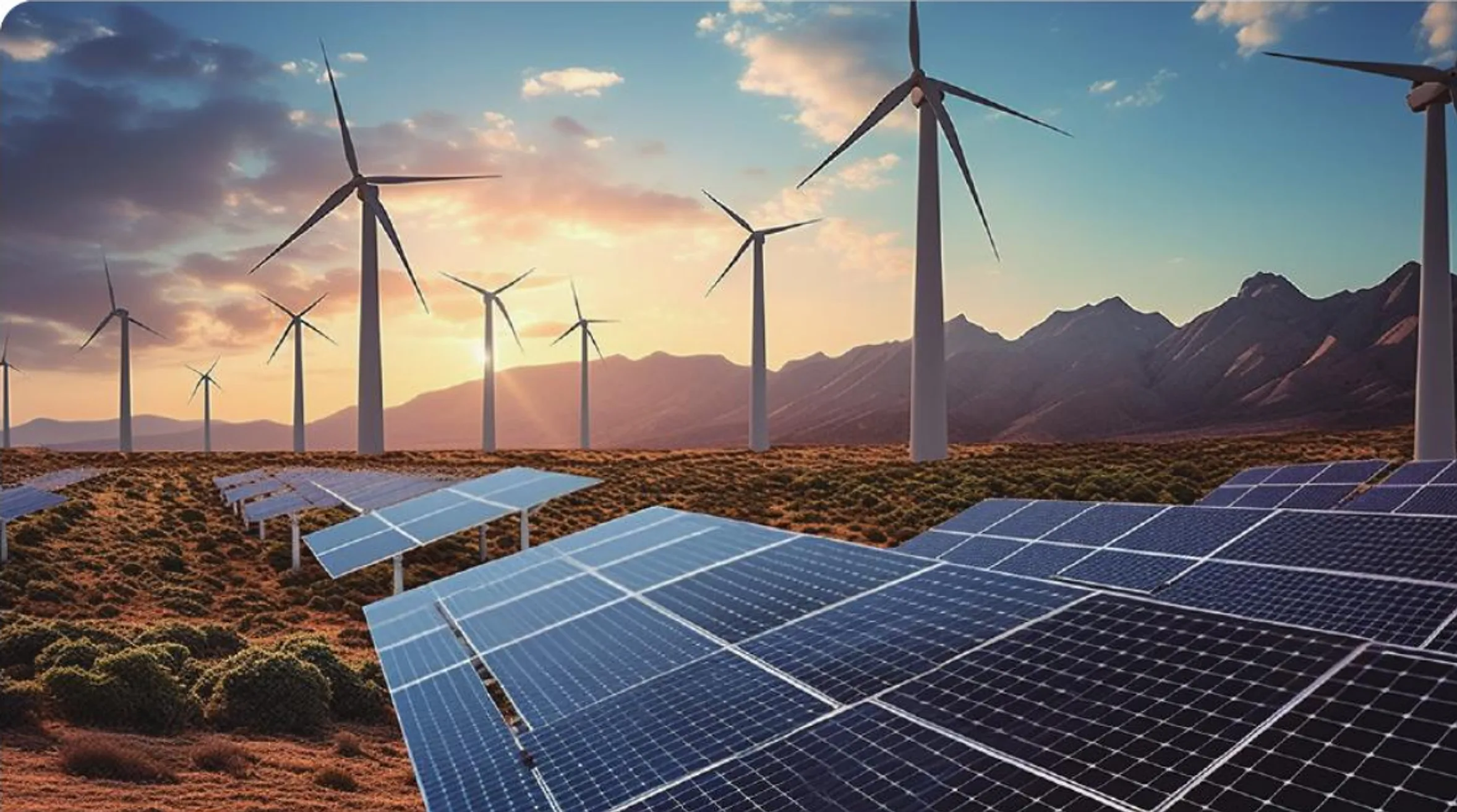
Photovoltaic inspection, power line, oil & gas pipeline, forest fire monitoring
Background
Energy and infrastructure inspection often spans large areas, complex terrain, and scattered assets. Manual patrol alone struggles to maintain frequency, detail, and personnel safety, while imagery, thermal data, and historical records need a shared archive for comparison and verification.
Hanxing deploys drones and AI vision for efficient inspection, smart diagnosis, and safety protection across solar farms, power lines, oil & gas pipelines, and forest fire prevention.
Solar PV Inspection & O&M
The Problem
Large solar plants contain dense, widely distributed component fields. Manual inspection is time-consuming and may miss abnormal heating, shading, and subtle damage. Combined visual and thermal collection narrows the scope of human verification and provides location evidence for maintenance.
Our Solution
- Autonomous route flight — Drones follow preset routes under qualified operational supervision
- AI defect identification — Thermal imaging auto-marks hot spots and string failures; visible light detects panel breakage and shading
- Cleaning planning — Auto-generates cleaning priority and path based on dust accumulation
- O&M closed loop — From issue detection to work order, dispatch, and re-inspection — fully online
Power Line Inspection
Power lines traverse mountains, forests, and rivers. Traditional manual inspection is slow, risky, and incomplete. Hanxing provides drone + AI smart inspection:
- Corridor patrol, tower close-up inspection, insulator defect identification
- Vegetation encroachment distance auto-measurement and threshold alerts
- Structural hazard detection (tower tilt, hardware corrosion)
- Auto-generated inspection reports with mobile viewing
Forest Fire Monitoring & Emergency Response
The Challenge
Once a forest fire spreads, suppression costs and ecological damage are enormous. Traditional watchtowers have limited coverage; satellites have fixed revisit times and insufficient resolution. Early fires often spread in unseen areas.
Our Solution
Hanxing’s forest fire system fuses multiple methods for “early detection, early location, early response”:
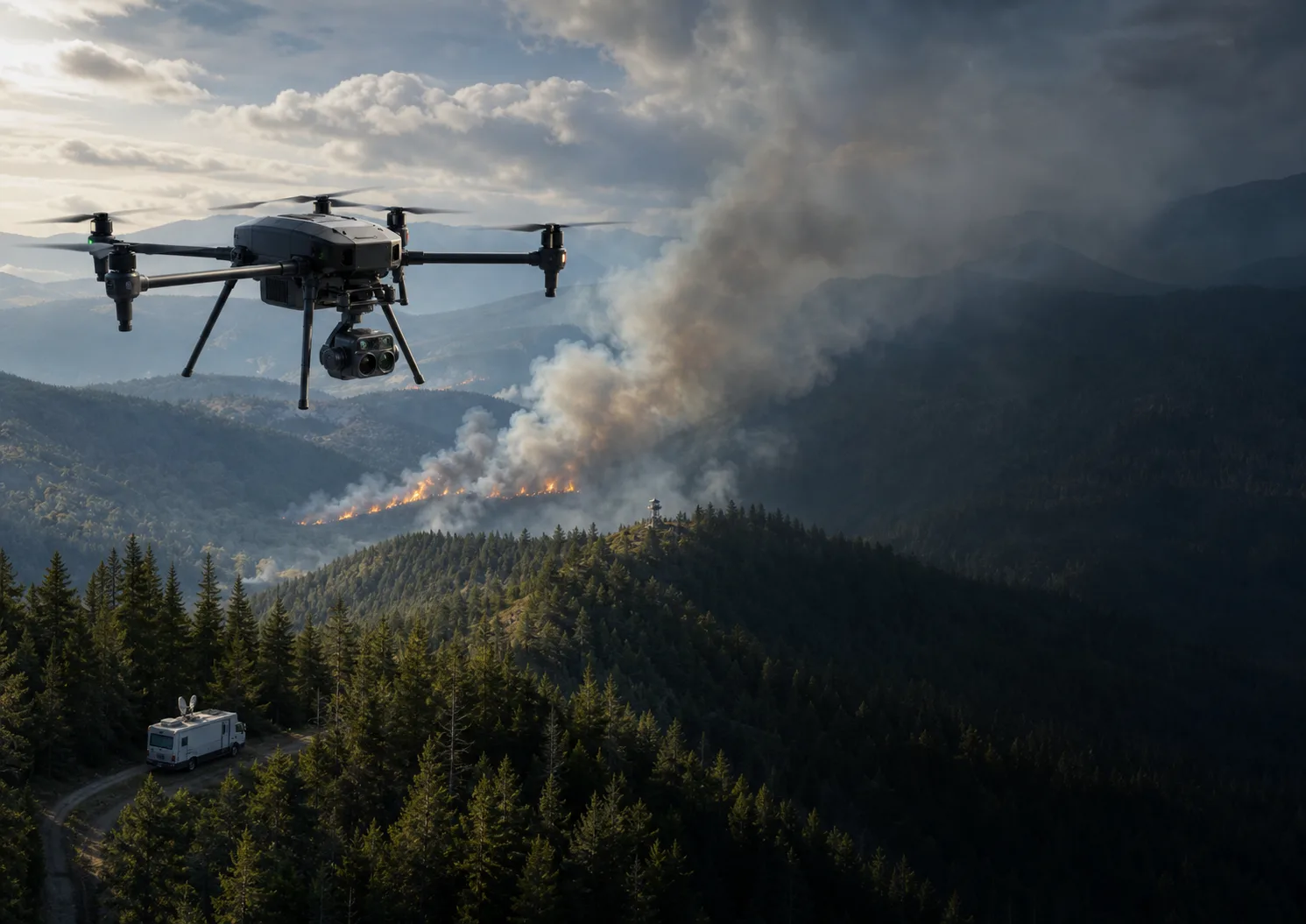
- UAV wide-area patrol — VTOL fixed-wing drones with long endurance cover vast forest areas, equipped with IR thermal and visible light dual payloads, auto-identifying smoke and hotspots
- Tethered balloon continuous monitoring — 24/7 monitoring of high-risk zones, wind-resistant, with cooled IR camera and laser rangefinder
- Mobile command station — Rapid forward deployment with satellite communications, edge computing, and real-time video return
- AI fire analysis — Auto-distinguishes fire points and smoke from other heat sources; calculates spread direction and speed for suppression planning
- Emergency linkage — From fire detection to notifying fire services, route planning, and resource dispatch — fully automated chain
Why Hanxing
We don’t just provide drones and sensors — we deliver a complete system from route planning, AI algorithms, and data platforms to mobile command stations. Each project is tailored to actual terrain and requirements.
System & Scenario Evidence
From Field Problems to Executable Scenarios
Platforms, equipment, and data are organized around real workflows, so every capability maps to a concrete operation and delivery outcome.
Screen thermal anomalies and locate assets in one flight
Visual and thermal missions follow plant zones and array layouts. Temperature anomalies, shading, and damage clues are linked to specific arrays and coordinates so maintenance teams can prioritize verification, repair, and re-inspection.
- Automated route coverage
- Thermal anomaly assistance
- Asset location mapping
- Work-order closure
Build a continuous, comparable record of linear infrastructure
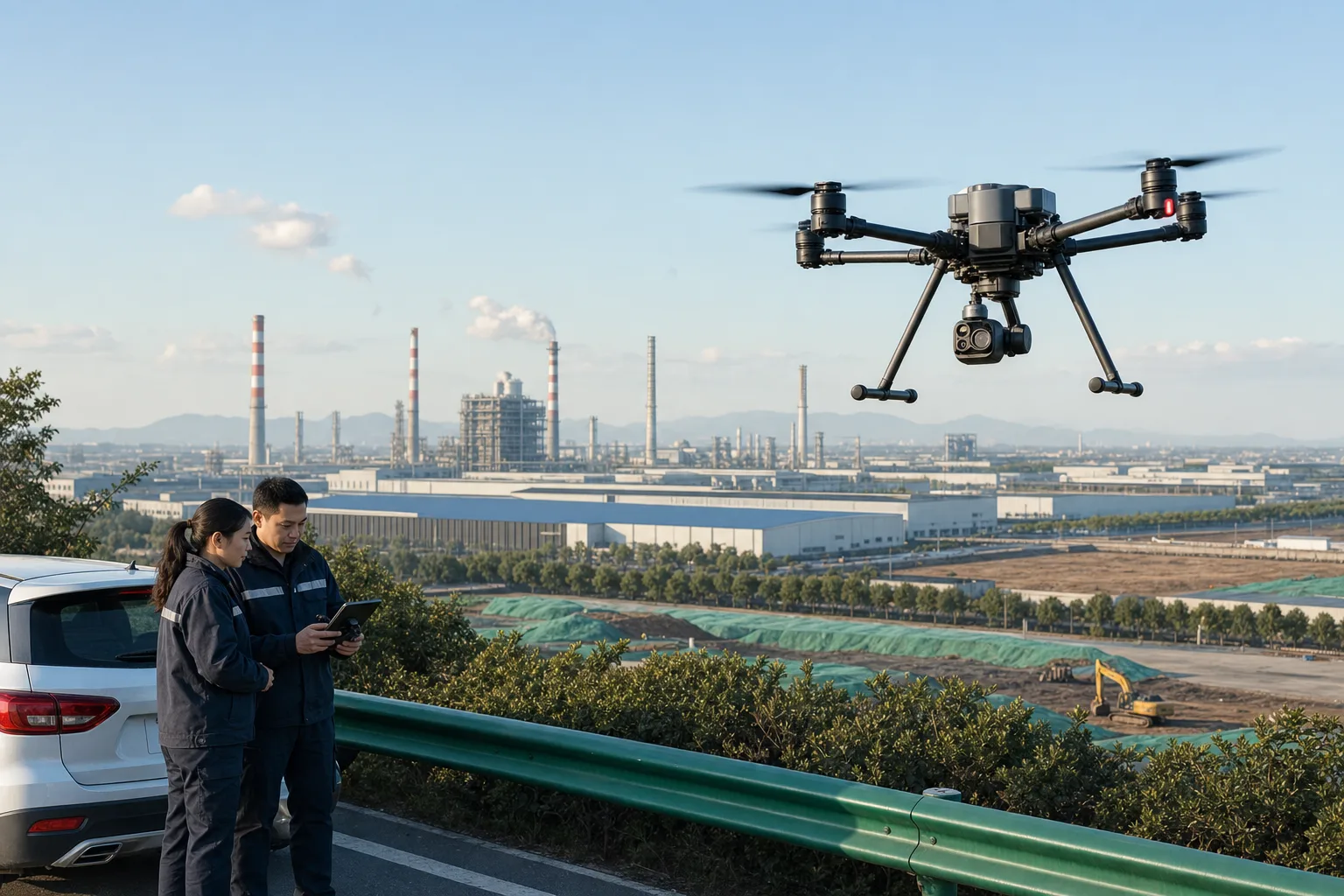
Transmission lines, pipelines, and utility corridors are organized into recurring mission segments covering towers, insulators, corridor conditions, and nearby construction. Location-aligned imagery helps review vegetation, external damage, structural change, and abnormal heat sources.
- Segment management
- Detailed asset inspection
- Historical comparison
- Risk-point verification
Move early smoke and heat clues quickly to command teams
Long-endurance aircraft, visual and thermal payloads, persistent monitoring, and mobile command capabilities cover high-risk forest areas. Suspected smoke or heat is geolocated, streamed to operators, and used to plan follow-up routes and field dispatch.
- Smoke and heat recognition
- Priority-zone patrol
- Mobile command feeds
- Emergency dispatch
See site security, equipment health, and operating conditions together
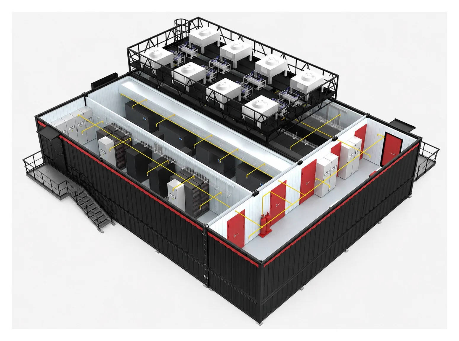
For substations, data centers, and equipment rooms, video, access control, environmental sensors, and inspection devices feed one operating view. Temperature, humidity, energy use, equipment alarms, and security events can be correlated for routine operations and exception handling.
- Environment and energy monitoring
- Equipment alarms
- Security orchestration
- Maintenance work orders
How the Solution Lands
From scope and data interfaces to integration testing and acceptance, every project follows a traceable and maintainable delivery path.
Asset inventory
Map sites, lines, equipment, and risk points
Mission planning
Configure cycles, routes, payloads, and data standards
Intelligent review
Screen anomalies and compare historical records
Maintenance closure
Dispatch, resolve, and complete re-inspection
Project References & Solution Evidence
Based on Hanxing project materials, solution documents, and application scenarios. Sensitive customer information is intentionally omitted from the public site.
Thermal inspection for solar plants
Visual and thermal data are collected by plant zone and linked to component locations, supporting human verification, repair priorities, and follow-up inspection.
Prepared from existing photovoltaic UAV inspection materialAl Bahah forest-fire monitoring system
For early fire detection across large forest areas, the requirements combine UAVs, thermal imaging, persistent monitoring, mobile command, and communications from discovery through dispatch.
Prepared from the Al Bahah forest-fire monitoring requirements document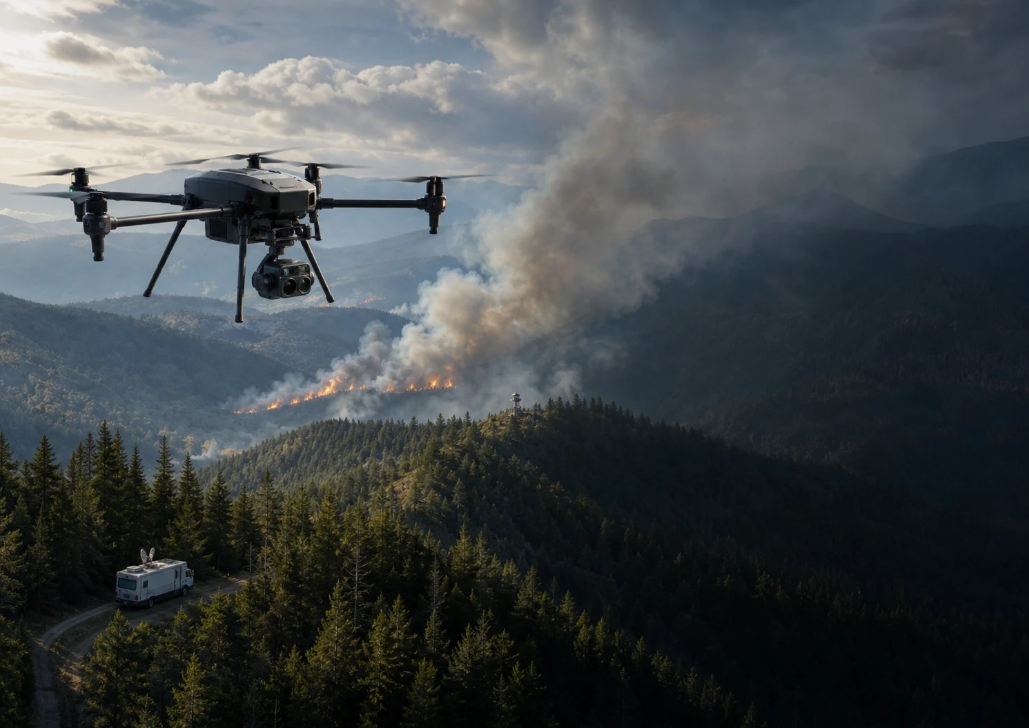
Intelligent transmission-corridor inspection
Route-based imagery of towers, insulators, and corridor conditions is compared with historical records to surface vegetation, construction intrusion, and structural-change clues.
Adapted from public power-grid UAV inspection practices; not a Hanxing customer caseStart Your Digital Transformation Journey
Start with business goals and field constraints, then build an implementable, testable, and maintainable solution.
Contact Us